Overview
The Grids and Graticules tool places labeled grids and graticules on a map to be printed or published. A grid is a series of orthogonal horizontal and vertical lines used to denote coordinate locations on a map. The OpenCities Map grid tool creates a grid based on the current projected geographic coordinate system. A graticule is a similar network of lines; however it represents lines of latitude and longitude of geographic coordinates.
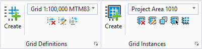
The Grids and Graticules dialog can be launched from the Grids and Graticules from Grid Definitions or Grid Instances ribbon groups located in the Map Admin workflow. Alternatively, use the key-in MapCSUtilities GridsAndGraticules
The grids and graticules dialog consists of two tabs:
-
The Definition tab is used to specify the grid and graticules definitions or templates.
-
The Instances tab is used to create and manage grid Instances. A grid instance is a graphical element that defines the grid extents and includes one or more grid and/or graticule definitions.
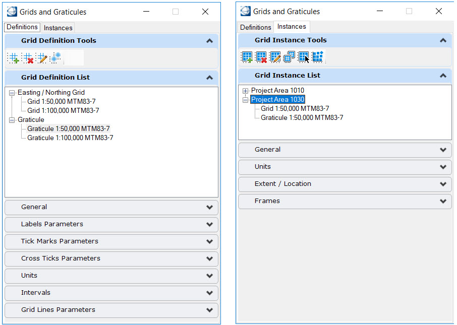
A wizard is used to create a new definition or a new instance. Once complete, the created element is stored in the design file.
Typically the definitions and instances for a particular project are stored in a DGNLib. All DGNLib's found in the folders listed in the MS_DGNLIBLIST variable are scanned for grid definitions and instances. The elements found are shown in grey in the Grids and Graticules dialog and are read only. To use these elements, you must first use the duplicate tool to make a copy in the current model.